
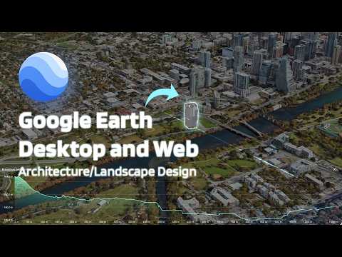
For architects and urban planners, context is everything. While many professionals view Google Earth simply as a quick way to inspect satellite imagery, it is actually a robust, data-rich platform capable of transforming your early-stage architectural workflow. From conducting thorough site analyses to extracting accurate terrain and elevation data, Google Earth provides invaluable insights long before you break ground or open your design software.
Analyzing Site Terrain and Elevation Profiles
A successful design starts with understanding the unique characteristics of the land. Google Earth allows designers to evaluate slope, contour variations, and elevation profiles effortlessly. By studying the surrounding topography, sun patterns, and adjacent built environments, architects can make informed decisions regarding building placement, orientation, and grading. This preliminary site analysis saves significant time and helps prevent costly structural revisions during later design stages.
Seamlessly Integrating Context into Your Modeling Workflow
One of the greatest advantages of leveraging Google Earth in modern architecture is its compatibility with advanced modeling platforms. By importing geolocated satellite imagery and terrain contours directly into SketchUp 3D, designers can establish an accurate real-world context for their building models. Generating detailed topography within your digital workspace allows you to see exactly how your structure interacts with existing slopes, adjacent streets, and neighboring buildings. This bridge between geographic data and 3D space ensures that your models reflect true environmental conditions.
Enhancing Conceptual Designs and Client Presentations
Beyond initial spatial planning, combining Google Earth’s macro-level context with SketchUp 3D precision enables compelling visual storytelling. You can simulate sun studies, analyze visual impact from surrounding viewpoints, and present a holistic vision to clients and stakeholders. Instead of viewing a project in isolation, stakeholders can appreciate how the proposed building harmonizes with the surrounding landscape.
Final Thoughts
Integrating Google Earth into your early design phase bridges the gap between raw geographic data and creative architectural vision. By combining powerful site analysis tools with software like SketchUp 3D, you elevate both the precision of your site modeling and the quality of your final design proposal. Start utilizing these integrated tools today to create smarter, context-aware architecture.
